

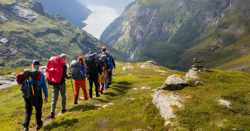
A debate is brewing in British Columbia regarding the safety of using popular digital navigators in the wild. The Lions Bay Search and Rescue team conducted another operation triggered by a group of hikers who relied on Google Maps to plan a complex mountain trek.
The incident occurred on the Howe Sound Crest trail. The group planned to complete the route in one day, relying on printed instructions from the app. The navigator promised that the path from Cypress Mountain to West Lion Peak would take 2 hours and 55 minutes, with the remaining section to Lions Bay taking another 2 hours and 18 minutes. In reality, rescuers assessed this route as a serious expedition requiring between 12 and 14 hours.
The Gap Between Numbers and Reality
The numbers speak for themselves: the route covers almost 18 kilometers and includes more than 1,300 meters of elevation gain. The path goes through rocky sections, scree slopes, and alpine terrain with constant steep ascents. None of this was accounted for by Google Maps in its time calculations.
The rescue service emphasizes that inaccurate time estimates affect more than just walking pace. If an app claims a hike will take five hours, but in reality, it is a 14-hour alpine route, every subsequent decision becomes flawed. This concerns the start time, the calculation of food and water supplies, as well as the choice of equipment.
A Systemic Algorithm Problem
The incident in Lions Bay is not an isolated case. Rescuers regularly receive calls from hikers who have exhausted themselves, got stuck in the dark, or failed to complete their planned route. The reason is invariably the same: overestimating one's own strength against underestimated expectations of trail difficulty.
The problem lies in the fact that navigation service algorithms were originally developed for city roads and car routes. When adapted for hiking, they do not always correctly account for elevation changes, terrain type, and the person's fitness level. For flat trails, the error might be insignificant, but in mountainous terrain, a discrepancy of several hours turns into a direct threat to life.
Rescuers urge hikers not to let Google Maps convince them that a serious trek is just a post-lunch walk. In the mountains, the price of a navigator's error can be too high.