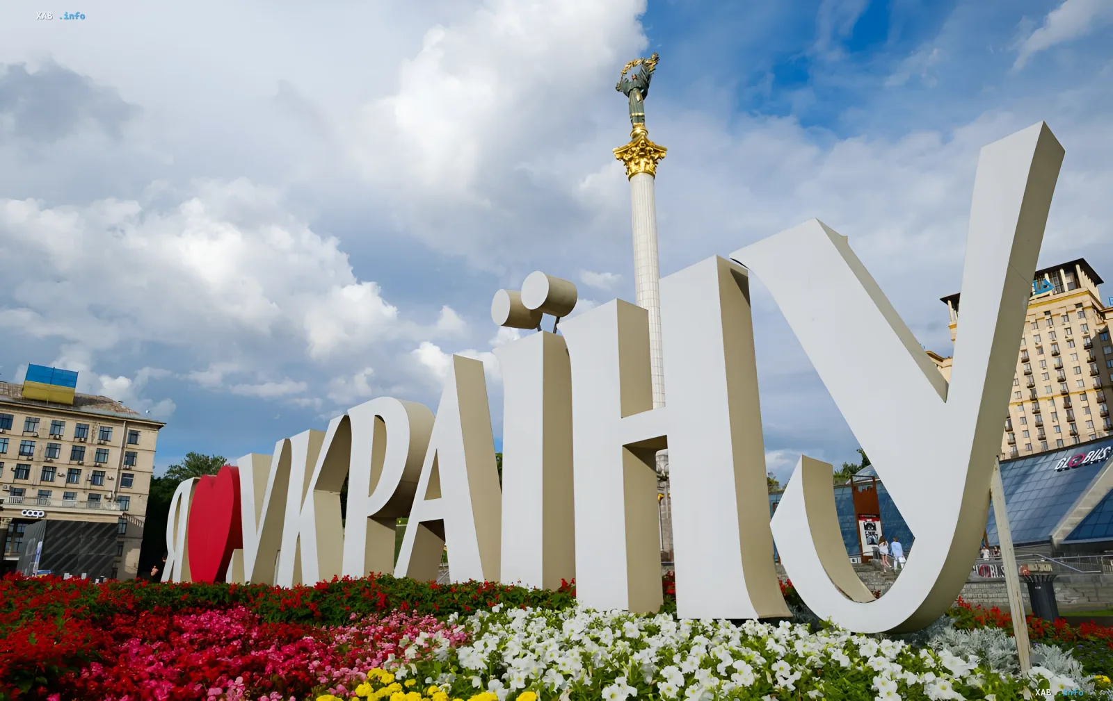
The prolonged wave of abnormal heat in Ukraine will finally begin to give way to more comfortable weather. However, meteorologists warn: along with the drop in temperatures, active thunderstorm activity will arrive across the country. In the coming days, especially on the weekend, significant precipitation and gusty wind strengthening are expected in some areas.
This was stated by Ivan Semylit, a meteorologist from the Ukrainian Hydrometeorological Center, in an interview for RBC-Ukraine. According to him, the key factor in the weather change will be the shift in air masses. A cold atmospheric front from Western Europe is invading the country's territory and will begin to push the scorching air eastward.
Peak activity: July 4
The most significant weather changes are forecast for July 4. On this day, the cold front will be most active. The northwestern wind will begin to carry fresher air, although its speed will be moderate.
The meteorologist clarified the geography of the precipitation:
- On the night of July 4, moderate rain is expected in the northern, central, Odesa, and Mykolaiv regions.
- During the day on July 4, rain and thunderstorms will cover almost the entire territory of Ukraine, with the exception of the southwest.
In some places, precipitation will be significant. In certain areas, meteorologists do not rule out hail and squalls with wind gusts of up to 15–20 meters per second.
Temperature regime: from +13°C at night to +28°C during the day
With the arrival of the front, air temperatures will drop significantly. During the night hours, thermometer readings will fall to +13…+18°C. During the day, heating up to +21...+26°C is expected. In the south and east of the country, where the front will arrive with a delay, it will be somewhat warmer.
On Sunday, July 5, rain with thunderstorms is likely in the north, east, and southeast. On Monday, July 6, precipitation will shift to the western, northern, and northeastern regions. On these days, night temperatures will be +11...+18°C, and daytime maximums will reach +21...+28°C.
Weekly forecast: local rain and stable temperatures
Throughout Tuesday and Wednesday (July 7–8), rainy weather will persist. Although there will be less precipitation on July 7, by the night of July 8 in the west, and during the day across Ukraine (except the southeast), short-term rain with thunderstorms is expected again.
From July 9 to 13, the synoptic situation will stabilize. Precipitation will be local in nature — typical for the summer period. It may be pouring in one district of the city, while it is sunny in the neighboring one. This is due to the fact that summer clouds move quickly and have clear localization.
Temperature values during this period will not undergo significant changes. At night, the air will cool to +11...+18°C, and during the day, it will heat up to +21...+28°C. Minor fluctuations are possible depending on the terrain and cloud cover: it will be cooler in the lowlands and fresher in the mountains. Also, daytime temperatures may be lower if the sky is overcast.


