On Friday morning, a powerful seismic event shook the border region of Mexico and Guatemala. The 7.3 magnitude earthquake prompted authorities in both countries to immediately activate emergency response protocols in coastal areas.
Epicenter and Aftermath
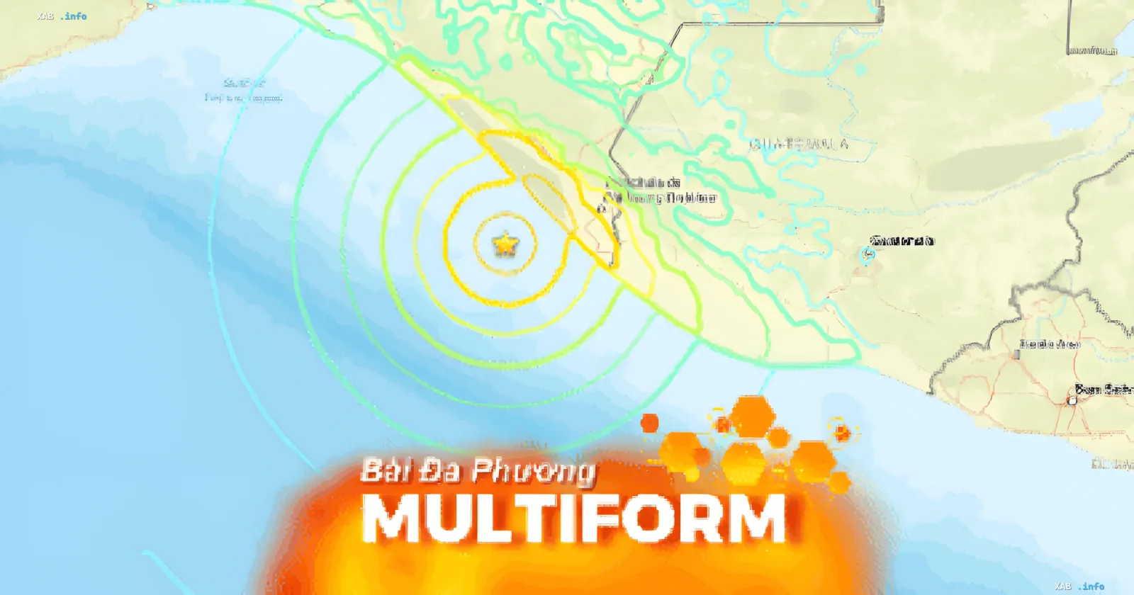
According to the National Seismological Service of Mexico, the tremors began at 8:48 local time. The epicenter was located in a coastal zone, approximately 48 kilometers southwest of the city of Aquiles Serdán (Chiapas state), at a shallow depth of just 10 kilometers.
Currently, official sources report no casualties or significant material damage. The situation is under control, but the threat remains due to potential secondary effects.
Tsunami Threat and Warnings
Colonel Raymundo Morales, the Mexican Navy Minister, commented on the situation, stating that no serious consequences have been recorded so far. However, he warned of a possible rise in water levels at certain beaches.
"It is expected that due to the earthquake-induced tsunami, water levels will rise by a maximum of 0.5 meters. People are advised to stay away from the beaches," Morales emphasized.
Aftershocks and Activity
The United States Geological Survey (USGS) recorded a preceding shock (foreshock) in the coastal zone, as well as at least 10 aftershocks with magnitudes ranging from 4.9 to 6. This indicates ongoing tectonic activity in the region.
Authorities continue to monitor the situation and urge the population to remain vigilant, especially in coastal areas of Chiapas state and neighboring territories.