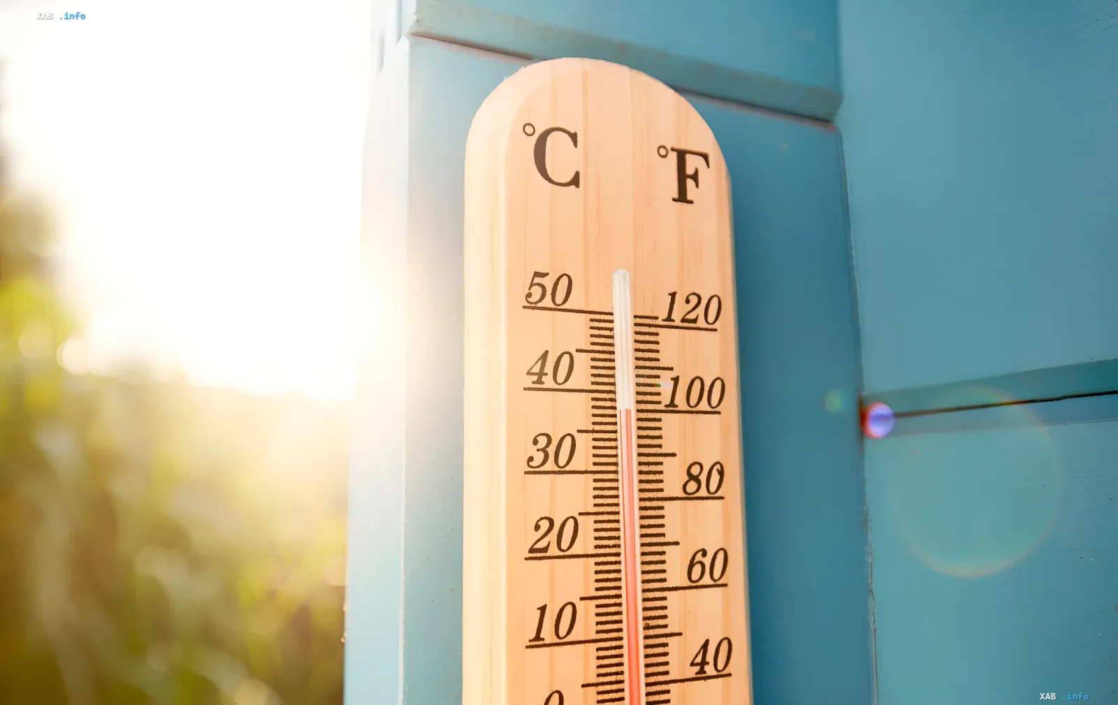
The World Meteorological Organization (WMO) of the UN has issued an alarming forecast: the planet is set to face a new phase of extreme warming. Experts from the organization have confirmed a high probability of the El Niño phenomenon, which could trigger unprecedented heatwaves and disrupt the climatic balance across the globe.
Probability of occurrence and temperature records
According to official data released on Tuesday, there is an 80% probability of the formation of the warm phase of the climate cycle in the Pacific Ocean between June and August. By November, this figure is expected to rise to 90%. The return of El Niño is superimposed on the current trend of anthropogenic climate change, creating a synergy effect that significantly accelerates the rise in global temperatures.
UN Secretary-General António Guterres called the situation critical, stating that El Niño conditions are "adding fuel to the fire" of global warming. In his words, the international community must view this data as an urgent climate warning. Celeste Saulo, Secretary-General of the WMO, emphasized that extreme heat is already one of the deadliest threats, and El Niño has the potential to intensify this danger on average across the planet.
Threat to food and energy security
The consequences of this climatic shift will go far beyond weather anomalies. A significant impact is expected on agriculture, hydroelectric power generation, and electricity demand for cooling systems. At a time when global food and energy reserves are already under pressure due to geopolitical conflicts (specifically the consequences of the Strait of Hormuz blockade), a new wave of heat could exacerbate resource shortages.
Experts predict an increase in heat-related illnesses and an expansion of the range of vector-borne diseases. Water supply systems and food logistics chains, especially in vulnerable regions, will face colossal pressure, which could push many communities beyond their limits.
The "Super El Niño" scenario
Although the WMO does not officially use the term "Super El Niño," signs indicate that the current phenomenon could be significant. The phenomenon is considered super-strong if the sea surface temperature in the relevant region of the Pacific Ocean exceeds the norm by more than 2 degrees Celsius. In the 21st century, this has been recorded only once — in 2015-2016.
Forecasts from the European Centre for Medium-Range Weather Forecasts show that the current El Niño not only may reach the 2°C threshold but could significantly exceed it. Given that the last cycle in 2023 entered the top five strongest in recorded history, turning 2024 into the hottest year on record, experts fear that 2027 could break temperature records again.
Regional consequences: from floods to droughts
The impact of El Niño varies by region. For Europe, the forecast remains complex due to the continent's distance from the Pacific Ocean; however, the first powerful wave of summer heat is expected in the coming days, capable of setting monthly records in the UK, France, and Spain.
In other parts of the world, the consequences will be more specific:
- Flood risk: The southern US, parts of South Latin America, the Horn of Africa, and Central Asia will face increased precipitation, which is fraught with floods and landslides.
- Drought threat: Australia, the Caribbean basin, South Asia, and Indonesia, conversely, may plunge into dry conditions with water shortages.
Despite the gloomy forecasts, Celeste Saulo noted that El Niño does not necessarily lead to catastrophe if countries can prepare in time and implement effective early warning systems.


