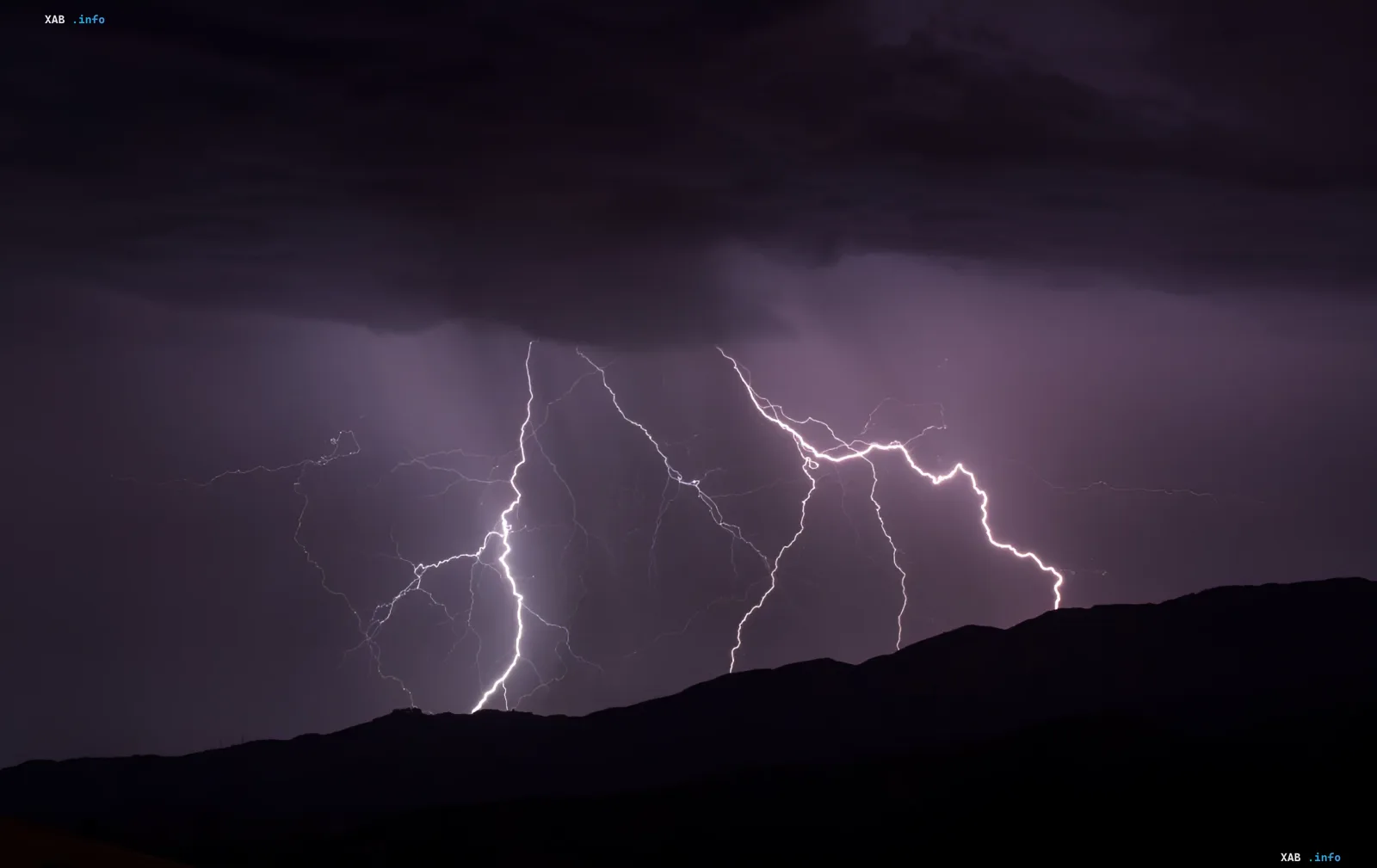
On August 18, 2026, Ukraine is expected to experience sharp weather changes. According to the Ukrainian Hydrometeorological Center, rain will fall across most of the country, while western regions are forecast to see thunderstorms, hail, and gusty winds. Meteorologists have declared a yellow danger level, warning of potential difficulties for utility services and transportation.
Map of weather anomalies: where to expect storms
According to the forecast presented by RBC-Ukraine, precipitation will spread across almost the entire territory of the state today, with the exception of the southeast and east. The most complex situation is expected in the western part of the country. It is here that meteorologists predict not just rain, but heavy downpours accompanied by thunderstorms. In some areas, hail and wind gusts with speeds of 15 to 20 meters per second are possible.
The wind will be predominantly southerly, however, in the western territories, its direction will change to northwesterly. The average wind speed will be 7–12 m/s, which, combined with precipitation, will create unfavorable conditions for outdoor activities and work at heights.
Temperature contrast: from heat to cool
The weather on August 18 will surprise the residents of Ukraine with a significant temperature spread. In the central and eastern regions, including the Kyiv region and the capital, daytime temperatures will rise to +28...+33°C. In Kyiv, the temperature will fluctuate in the range of +28...+30°C, creating a "greenhouse" effect before the passage of the cold front.
The situation changes radically in the west. In the western regions and the Zhytomyr region, it will be noticeably cooler — only +20...+25°C. This is due to the passage of active atmospheric fronts and heavy precipitation, which cool the air. Night rains have already passed in the western regions, and during the day, the front will move deeper into the country.
ESDU warnings and recommendations for the population
The Ukrainian Hydrometeorological Center has officially declared Level I danger (yellow). In the department's statement, it is emphasized that weather conditions may lead to complications in the work of energy, construction, and utility enterprises. There may also be disruptions in transportation due to reduced visibility and road conditions.
A yellow danger level has also been introduced in the Kyiv region and Kyiv. The local population is urged to be vigilant: avoid being under trees and advertising structures during thunderstorms, and monitor weather forecasts in real time. The State Emergency Service of Ukraine recommends that drivers reduce speed and increase distance on the roads.
Contradictory data
Although the main forecast of the Ukrainian Hydrometeorological Center is unified, there are slight discrepancies in details in various sources. RBC-Ukraine and TSN focus on gusts specifically in the west, while some regional reports (for example, in materials about Khakassia, although this is another region of the Russian Federation) mention hail as a more widespread phenomenon. In the context of Ukraine, at the moment, hail is forecast locally ("in some places"), not everywhere. Sources also differ in the description of the wind: in some places the speed is up to 20 m/s (gusts), and on average across the country — 7-12 m/s. This is not a contradiction, but a clarification: gusts are short-term surges that exceed the average wind speed.
Global context: climate change
Experts note that such sharp weather contrasts and frequent storm phenomena are becoming increasingly characteristic of the planet's climate. Previously, the media reported that global climate change would lead to even more noticeable shifts in weather regimes in Ukraine. Scientists warn that the planet may break new temperature records in the coming years, making such days with a yellow danger level more frequent than in the past.