Map: location of Annovka village near Drobopyliye
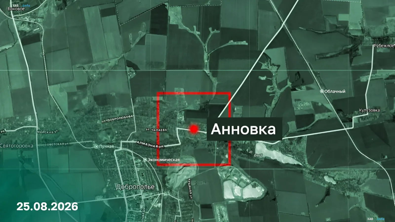
The satellite image highlights the village of Annovka, marked with a red box and a pinpoint on the map. The settlement lies a few kilometres north of Drobopyliye, with Chapayev and Almazna streets visible nearby. The picture illustrates the Russian Ministry of Defence's claim of taking control of the village.