Shahed drone in the air — presidential adviser proposed opening movement data to the public
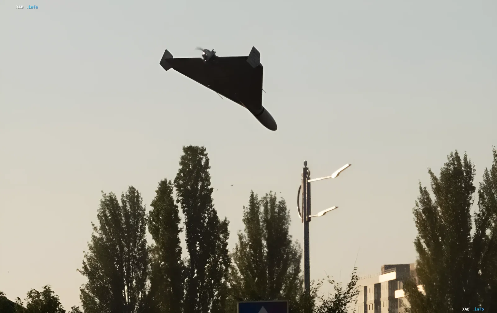
The photo shows a Shahed strike drone with its distinctive triangular wings flying over an urban area. It is the real-time movement of such drones that is proposed to be displayed on a public map for citizens. The presidential adviser's initiative aims to increase public awareness of the aerial threat.