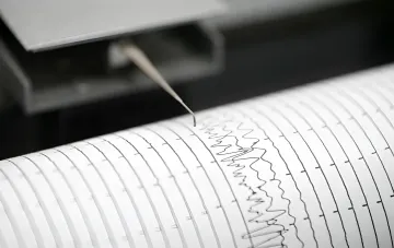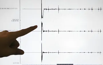
In early September 2026, Ukraine's seismological services recorded an underground tremor in the western part of the country. According to the Main Special Control Center, a magnitude 1.8 earthquake on the Richter scale occurred in Nadvornyanskyi District of Ivano-Frankivsk Oblast. This was reported by RBC-Ukraine citing an official source. The tremor was registered at a depth of 6 kilometers, which is typical for shallow seismic events in this region.
Epicenter and Geographical Parameters of the Tremors
The epicenter of the earthquake was located in the territory of the Pasiachnianskyi territorial community in Nadvornyanskyi District of Ivano-Frankivsk Oblast. The geographical coordinates of the source of the underground tremors were 48.56° north latitude and 24.45° east longitude. The focal depth of 6 kilometers indicates that the rupture occurred in the upper part of the Earth's crust, which is typical for seismically active zones in the western regions of Ukraine. It is precisely the shallow depth that allows even low-energy tremors to sometimes be felt by residents of nearby settlements, although in this case the magnitude did not permit that.
Seismologists' Classification and Recommendations for Residents
According to the classification of specialists at the Main Special Control Center, a magnitude 1.8 earthquake falls into the category of imperceptible events. This means that under normal conditions such tremors are not perceived by humans and are recorded exclusively by instrumental methods — seismographs and other sensors. Nevertheless, the center appealed to citizens with a request: if any resident of Nadvornyanskyi District or neighboring territories did feel the shaking, they are recommended to leave a message on the institution's official website. Such data is necessary for specialists to refine the energy parameters of the underground tremors and adjust the calculation models.
Seismic Activity in Western Regions of Ukraine
The earthquake in Nadvornyanskyi District is not an isolated event. Seismologists regularly record underground tremors in the western regions of Ukraine, and in the overwhelming majority of cases they have a small magnitude and fall into the imperceptible class. In late August 2026, a magnitude 1.7 earthquake was recorded in Zakarpattia Oblast, with its epicenter in the Rakhivska hromada. Earlier, in June 2025, two earthquakes in a row were recorded in Zakarpattia Oblast, which also proved imperceptible to local residents. In August 2023, seismologists recorded an underground tremor in Bukovina — in the area of the village of Balkovtsi in Chernivtsi Oblast. Thus, the seismic situation in the western part of the country remains stably low, and isolated small-magnitude events pose no threat to the population or infrastructure.
Context and Significance of Monitoring
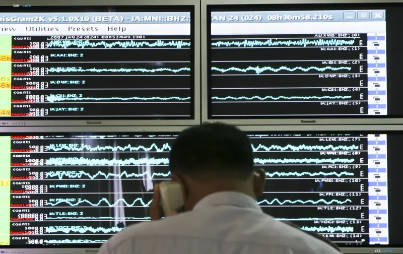
Continuous monitoring of seismic activity in the western regions of Ukraine is carried out using a network of seismographic stations, whose data is fed into the Main Special Control Center. Even tremors of magnitude 1.8, which carry no practical threat, are recorded and analyzed as part of systematic work to study the tectonic structure of the region. Seismic activity maps, updated on the basis of such data, allow scientists to track long-term trends and make adjustments to seismic zoning maps. For residents of Nadvornyanskyi District and neighboring territories, the current event does not require any precautionary measures — a magnitude of 1.8 on the Richter scale is well below the threshold at which damage to buildings or structures is possible.