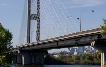

On the morning of October 4, 2026, the capital of Ukraine faced another severe infrastructure challenge. As a result of a targeted strike by an enemy unmanned aerial vehicle, a hit was recorded on the road surface of the strategically important North Bridge. This led to the emergency closure of the crossing, which immediately affected the transport logistics of the entire metropolis connecting the left and right banks of the Dnipro River.
Large-Scale Changes in Public Transport Routes
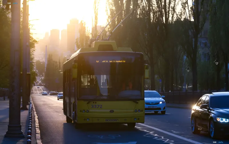
City authorities and the Kyivpastrans municipal enterprise promptly responded to the emergency by making adjustments to the operation of key bus and trolleybus routes. According to official data, trolleybus traffic on lines 29, 30, 31, and 47 from the left bank is now limited to the section from Myloslavska Street to Darnytsia Square. At the same time, from the right bank, trolleybuses on the same routes operate from the Kurenivka railway platform, Lukianivska metro station, and Kadetskyi Gai Street exclusively to Pochaina metro station.
Rerouting of Bus Traffic and Detours
Significant changes also affected the bus service of the Ukrainian capital. Buses numbered 21, 73, 101, and 114 have been redirected to Darnytsia Square to minimize transport congestion in the central and northern parts of the city. Special attention was paid to logistics between the right and left banks: buses No. 22 and No. 91 traveling from the left bank to the right bank were temporarily routed via the Darnytsia Bridge. The return direction for these routes operates according to previously adjusted backup schemes.
Expert Assessment and Consequence Mitigation
The attack on the North Bridge once again demonstrated the vulnerability of critical infrastructure under continuous shelling; however, the coordinated work of municipal services helped prevent a complete paralysis of the transport system. Relevant departments are assessing the damage to the road surface to begin repair work as soon as possible. Residents and visitors of the capital are advised to plan their routes in advance, taking into account current changes and using alternative crossings.