In Ukraine, November 10 is expected to be mostly dry and cool, with a week of alternating brief warming and subsequent cooling. This forecast was provided by meteorologist and weather forecaster Natalka Didenko, with her report cited by RBC-Ukraine. According to the expert, the synoptic situation will be dynamic during the coming "meteorological week," so she urges everyone to monitor changes in forecast models closely.
Anticyclone and a dry Tuesday
According to Didenko, an anticyclone will determine the weather in Ukraine for much of November 10, meaning no precipitation is expected in most regions. In the rest of the country, minimum nighttime air temperatures will range from 0 to +6 °C. Thus, the day will pass mostly without precipitation and with the cool backdrop characteristic of late autumn.
Isolated frost and wind warning
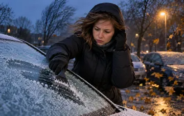
The coldest night of the day is expected in the western regions of Ukraine, where thermometers may drop to 0…-4 °C, meaning light frost. On the evening of November 10, an atmospheric front will bring precipitation to the western regions. The forecaster specifically emphasized that strong south-westerly winds are expected on the Right Bank of Ukraine on this day and urged residents to be cautious.
Kyiv and the south: a noticeable temperature contrast
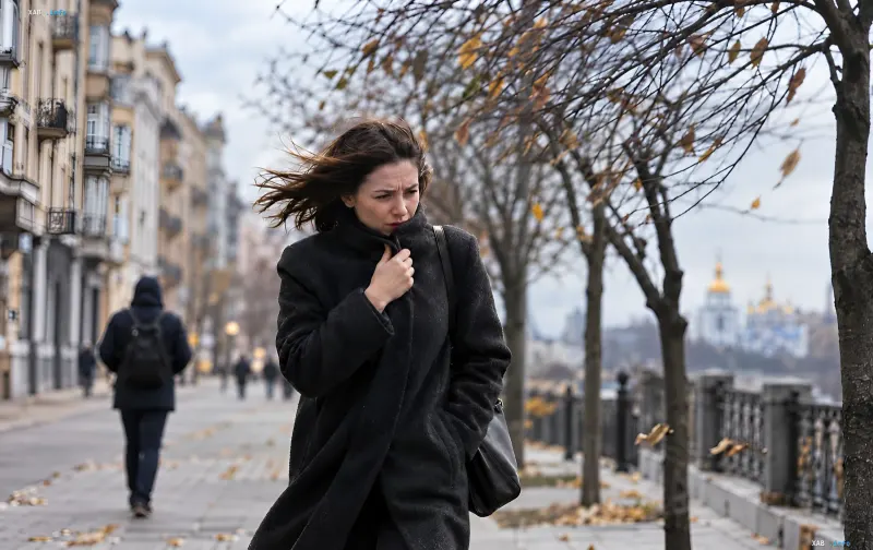
In Kyiv, weather on November 10 is expected to be windy, with maximum daytime air temperatures hovering around +5…+6 °C. The south of Ukraine promises to be the warmest throughout the current week, with temperatures rising to +10…+14 °C, and up to +16 °C in Crimea. Thus, the temperature difference between the west and south of the country may reach more than ten degrees on certain days.
Brief warming followed by cooling
According to Didenko's forecast, the temperature in Ukraine will jump up on Friday, November 13: a brief, perceptible warming is expected everywhere. However, starting from the upcoming weekend — November 14 and 15 — the air will begin to cool down again. The expert noted that the projected dates for the cooling are "fluctuating," which is why meteorologists are carefully monitoring changes in forecast models and updating the picture as data comes in.