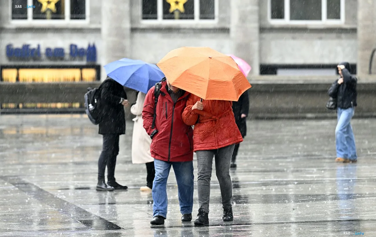
On September 22, a cold atmospheric front is moving across most of Ukraine, bringing a change in the weather after a dry weekend. According to the Ukrainian Hydrometeorological Center, light rain is expected during the day in most central and southern regions, and air temperatures will fall by four to six degrees compared to the previous days. The exception is the southern and eastern regions, where the cooling will be less pronounced. The wind is predominantly westerly, at 5–10 m/s, which is typical for the passage of a frontal boundary.
Timeline of the weather shift: from dry weekends to rain
According to RBC-Ukraine data, up until Monday, September 21, the country had experienced dry and relatively warm weather. However, from the start of the week the atmospheric front began moving from west to east. Heavy precipitation first hit the western regions, and then the rain front moved on to Zhytomyr, Kyiv, and Chernihiv oblasts. Thus, by September 22 the precipitation zone had already covered the central and southern regions, completing the passage of the cold front across the country's territory.
Temperature regime and nature of precipitation
Forecasters are recording a drop in daytime temperatures of 4–6 degrees across almost the entire territory of Ukraine, with the exception of the south and east. In some regions, according to RBC-Ukraine, the thermometer may fall to +10 °C. Nighttime temperatures will be even lower. The nature of precipitation in most regions is described as light rain, although some sources mention the possibility of intensified precipitation in certain areas.
Contradictory data
There is a discrepancy between sources in their assessment of precipitation and wind intensity. The Ukrainian Hydrometeorological Center, cited by RBC-Ukraine, characterizes the rain as "light" and the wind as moderate (5–10 m/s). At the same time, the TSN outlet uses the phrasing "heavy downpour and storm" in its materials, which implies significantly more intense precipitation and stronger winds. The difference may be explained by the fact that the forecasts were made for different time intervals: the early warnings concerned the peak phase of the front's passage (September 21–22), whereas the data for September 22 reflect an already weakening stage. Nevertheless, as of the publication on September 22, the bulk of the data points to a moderate nature of the precipitation.
Forecast for the rest of the week
According to TSN, the cyclone that brought the cooling will affect the weather in Ukraine until the end of the current week — September 21–27. After the front passes, a gradual improvement in weather conditions is expected, although the exact timing of stabilization depends on the speed of the air mass movement. Residents of the central and western regions are advised to take the possibility of local precipitation into account when planning outdoor activities over the next 24 hours.