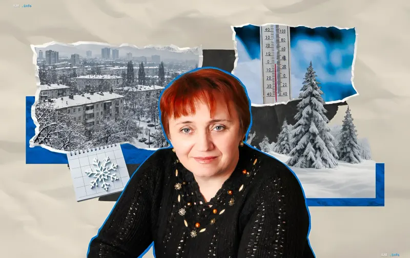
Ukrainian meteorologists have presented a preliminary assessment of the 2026/27 winter season. According to calculations by global forecasting centers, which are being refined based on the development of atmospheric processes over the country, the average air temperature in winter may be 1–2 degrees above the climatic norm, and precipitation 20–40% above the long-term average. This was stated in an interview with RBC-Ukraine by Vira Balabukh, Head of the Department of Applied Meteorology and Climatology at the Ukrainian Hydrometeorological Institute. At the same time, experts emphasize that a mild average temperature does not rule out cold snaps and creates specific risks for road and utility infrastructure.
What numerical models show
Seasonal forecasts of this scale are based on complex calculations by global forecasting centers; Ukrainian specialists use their results and refine them in accordance with local dynamics. The climatic norm is understood as the long-term average over a 30-year period, and the forecast itself describes an averaged picture for a month or season rather than specific days. According to Balabukh, none of the numerical models project an average winter temperature below normal: some calculations point to values within the norm, while the majority indicate an excess of 1–2 degrees. This trend is explained by the expected predominance of zonal air mass transport: air will flow primarily from the Atlantic and is warmer and more humid than continental or Arctic masses.
Where it will be warmer and where frosts will persist
The temperature range across Ukraine will be significant. The highest average winter temperatures are expected in the southern regions, Transcarpathia, as well as Kirovohrad and Dnipropetrovsk oblasts, where the winter average may be positive — ranging from 0 to +2 degrees. The lowest values are likely in the northeast of the country and the high-altitude Carpathian region, where the average winter temperature may drop to minus 3–4 degrees or lower. Meanwhile, as noted by the State Emergency Service's Hydrometeorological Center, Arctic air intrusions are not entirely ruled out: such periods, according to preliminary estimates, will be shorter than usual, but one should be prepared for them.
Precipitation and the main threat: black ice and freezing rain
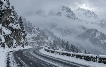
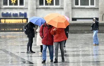
Calculations indicate that precipitation will be within normal limits or exceed them by 20–40% due to the influx of warm, moist Atlantic air. A key nuance that climatologists point out is the form of precipitation. If the air temperature is positive, precipitation will mostly be in the form of rain or wet snow that melts quickly. Under such conditions, the formation of a stable snow cover is unlikely: fallen snow will melt away, and against the backdrop of temperature fluctuations around zero, the risk of black ice, wet snow sticking, and freezing rain increases — factors that are most dangerous for traffic and utility services.
Why the west is warmer than the east
Ukraine is a country with diverse weather conditions, and the winter picture varies by region. In Transcarpathia, positive temperatures prevail in winter, comparable in level to March in Kharkiv oblast. The eastern regions are characterized by lower temperatures and less precipitation: the continental climate is more pronounced here, with a greater influence of anticyclones bringing clear weather and weak winds, which enhances nocturnal radiative cooling and daily temperature fluctuations. The western regions, on the other hand, are under a stronger Atlantic influence; frequent passage of cyclones and fronts brings more precipitation, cloudiness limits nocturnal cooling, and the daily temperature amplitude turns out to be smaller. As a result, the west generally experiences milder and more humid winters.
How to read such forecasts correctly
A seasonal assessment is a guideline for the general character of the weather, not a guarantee for specific days: within a generally warm winter, short-term cold snaps are possible, and within a humid season, periods of precipitation deficits. Meteorologists recommend viewing such calculations as a framework forecast and following official short-term forecasts and warnings about hazardous phenomena as specific weather events approach.