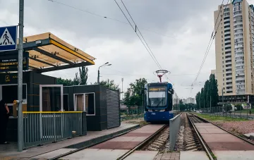
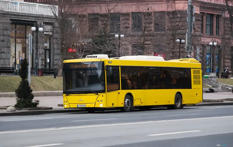
A new online tracking feature for ground public transport has been launched in Kyiv. Now, the movement of buses, trams, and trolleybuses can be viewed on the city map even during air raids when satellite navigation operates unstably. This was reported by RBC-Ukraine with reference to the press service of the Kyiv City State Administration (KMSA). The launch of the service is the municipal enterprises' response to the daily reality of martial law, when familiar digital tools periodically 'go blind', and it is critically important for citizens to know when and on what route transport will arrive.
How the System Works: Alternative Data Sources
According to Tetiana Tarasko, Acting General Director of Kyivpastrans, the new system is based on alternative data sources. The received signal is programmatically processed and displayed on the city map with a link to a specific route. This particular approach allows the service to remain operational in conditions when the standard satellite signal degrades or is disrupted — and such situations typically coincide with periods of air raids and active infrastructure protection efforts.
Operation Mode During Air Raids
During air raids, vehicle coordinates are updated every 3 minutes. The municipal enterprise emphasized that the functionality has already passed testing and is fully operational. At the same time, specialists continue to refine the service: the task has been set to reduce the coordinate update interval to 1–2 minutes to make the traffic picture even more accurate and prompt for passengers and dispatchers.
Coverage and Passenger Access
The entire rolling stock of Kyivpastrans serving the capital's routes has been connected to the new service. This provides two key effects: continuous control by the dispatch service and convenient trip planning for citizens. Passengers can track the real-time movement of buses, trams, and trolleybuses in the 'Transport online' section on the enterprise's official website.
Context: Why Stable Navigation Has Become a Security Issue
The launch of this functionality takes place against the backdrop of regular air raids and periodic strikes on the capital's infrastructure. Previously, after nighttime attacks, Kyiv changed traffic regulations across the Dnipro bridges — completely blocking some crossings and introducing restrictions on others, while public transport routes were adjusted via alternative bridges. Under such conditions, the ability to see the actual location of transport on the map and understand its routing scheme transforms from a convenient digital service into a tool for everyday safety and route planning.
Thus, the new Kyivpastrans functionality closes one of the vulnerabilities of urban mobility in wartime: it maintains the transparency of ground transport operations even when satellite navigation fails, and continues to evolve — moving from a three-minute coordinate update to a target interval of one to two minutes.