
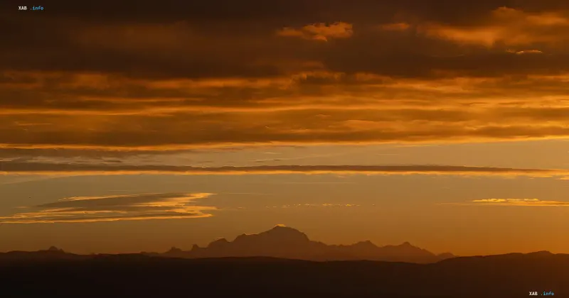
The summit of Mont Blanc, the highest peak in Western Europe, has been officially recorded at 4,807.47 meters. This figure is nearly 1.9 meters higher than the previous measurements; however, at the same time, experts note an overall decrease in height of approximately 1.3 meters compared to last year's peak values, vividly demonstrating the constant variability of the snow cover.
Research Methodology and New Technologies
To obtain up-to-date data, a team of surveyors, professional mountain guides, and scientists climbed to the summit at dawn on September 17. The experts spent more than two hours at the peak, bringing up about 30 kilograms of specialized equipment. Satellite positioning was actively used in the fieldwork, along with unmanned aerial vehicles that captured more than 1,300 images to build a detailed three-dimensional model.
Reasons for Mountain Height Fluctuations
According to the Association of Surveyors of the French region of Haute-Savoie, the fluctuations in the mountain's height are caused by the dynamics of snow and ice masses covering the rock base. Wind speed, precipitation levels, and temperature conditions directly affect the transformation of the summit's shape. At the same time, researchers from Grenoble note that at such an extreme altitude, temperatures remain consistently low, so climate change does not yet have a critical impact on the ice mass.
Contradictory Data
While fresh October 2026 reports record a growth of the summit by nearly two meters compared to 2023 figures, earlier measurements showed a downward trend in height—for instance, in previous periods the mountain lost about two meters due to snow compaction and wind blowing. Such discrepancies in figures from year to year underline the purely meteorological nature of the changes rather than a physical decrease or increase in rock.
Historical Context and Scientific Significance
Topographical surveys have been carried out by the association on a regular basis since 2001, making it possible to accumulate a unique array of data for scientific research. Interestingly, the surveyors' current figures are surprisingly close to the results obtained by brothers Joseph and Henri Vallot back in the 1890s using classical triangulation methods.