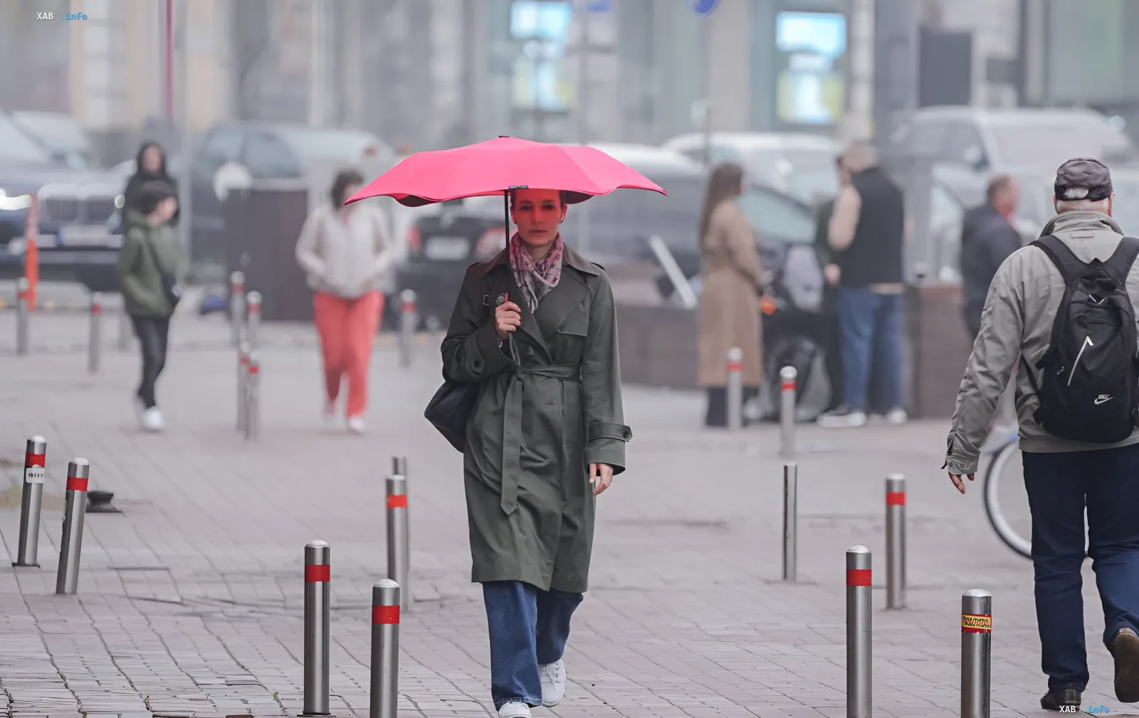
Natalia Ptukha, Head of the Media Interaction Department at the Ukrainian Hydrometeorological Center (UGMC), gave a detailed weather forecast for the coming days in a brief interview with RBC-Ukraine. According to her, until the end of the week (including September 20, Sunday), the weather in most regions will be shaped by a field of elevated atmospheric pressure, ensuring a predominantly sunny and comfortable-for-the-season setup. Only in the western and, in some places, northern regions, the arrival of an atmospheric front may cause localized brief rainfall, though the temperature background will remain at a level typical for mid-September.
Nights down to +16 °C, days up to +25 °C: what to expect on September 18–20
According to UGMC data, the coming nights — up to September 20 (Sunday) — will range from +10 to +16 °C. The exception is the night into Friday, September 18: in the eastern regions, thermometers may locally drop to +6…+9 °C. Daytime highs in most regions will reach a comfortable +20…+25 °C. According to the forecasters, it may be somewhat cooler at night in the east of the country, as well as during the day in the western regions, where the weather will be dominated by greater cloud cover and, in places, light rain. Up to and including the weekend, a predominantly southwesterly air flow will prevail in Ukraine.
Monday, September 21: a shift in the weather pattern and moderate rain
The start of the following week, according to Natalia Ptukha, will mark a definite change in the weather pattern. Moderate rain is expected overnight in most western and northern regions, and during the day across Ukraine as a whole (in most regions). Overnight temperatures on Monday will still hold at +10…+15 °C, but a noticeable drop will begin in the west, in most northern regions, and in Vinnytsia Oblast. During the daytime on September 21, the air in these regions will warm up only to +15…+20 °C.
Tuesday, September 22: rain continues, but no frosts
On September 22 (Tuesday), rain will also persist, although in the west of the country it will gradually subside. Thanks to the cloud cover, temperature readings will not change significantly at night: according to the UGMC representative, there is no talk of any frosts. On the contrary, cloud cover and humidity with rain in the autumn period are quite favorable conditions for the agricultural sector. Overnight in the western regions, a slight drop to +6…+10 °C is possible. Daytime highs on September 22 will show a more noticeable temperature decline: it will remain warmer only in the east and southeast, where the air will still warm up to +20…+26 °C. Thus, within the visible forecast horizon up to September 22, all readings fall within the range of typical autumn criteria.
The following week: a cyclone, cloud cover, and lower temperatures
As for the longer-range forecast, official forecasts with specific numerical values do not yet exist at this point — the UGMC's standard forecast horizon is 3–5 days. Nevertheless, Natalia Ptukha noted that the following week will be cooler than the current one: with more precipitation and lower temperature values. Ukraine will be dominated by the influence of a cyclone for almost the entire week, whose atmospheric fronts will gradually rotate over the country's territory. This means more cloud cover, frequent rain, and a consistently lower temperature background compared to the current week.
Contradictory data
In open sources, materials are being published in parallel with headlines about "new frosts" and "minus temperatures" in Ukraine (in particular, on the UNIAN and Focus websites). However, these publications refer to other time periods and regions and do not match the chronology of the forecast presented by Natalia Ptukha in her interview with RBC-Ukraine on September 18, 2026. Within this forecast, the UGMC explicitly states that no frosts are expected until September 22, and all temperature readings are within normal autumn values. The difference in wording is explained by the fact that some outlets operate with a longer horizon or regional local anomalies, whereas the official UGMC forecast for 3–5 days records the absence of negative temperatures.