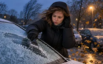
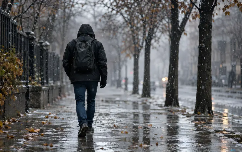
In the coming days, weather conditions in Ukraine will undergo drastic changes. According to the Ukrainian Hydrometeorological Center, a powerful cold snap will blanket the country, accompanied by nighttime frosts and, in some areas, the first snow of the season. The synoptic picture for Thursday, Friday, and Saturday, November 5–7, 2026, will be determined by the interaction of two key factors: high pressure and the influx of cold air masses from the northwest.
Thursday, November 5: Anticyclone from the North Sea Dictates Conditions
On Thursday, the synoptic situation across Ukraine will be determined by a high-pressure field formed by a powerful, stationary anticyclone centered over the North Sea. This atmospheric vortex will ensure mostly dry and cool weather in most regions. Simultaneously, a cold air stream will begin to flow into Ukraine from the northwest, leading to a noticeable drop in temperature indicators. UkrHMC experts emphasize that the actual air temperature will largely depend on the degree of clearings: on clear nights, the cold air will cool down further, which may lead to local frosts even under conditions where daytime values remain positive.
Friday, November 6: Return of Precipitation and First Frosts in the Mountains
On Friday, November 6, precipitation will return to Ukraine, which, combined with the ongoing influx of cold air, will create a typical late-autumn picture. According to preliminary UkrHMC data, air temperature both at night and during the day will range from 0 to 6 degrees Celsius above zero. It will be coolest in mountainous and foothill areas: in the Carpathians and Transcarpathia, nighttime temperatures will drop to 0…–5 degrees, which actually means a transition to stable frosts in these regions. For residents of lowland areas, Friday will be a day of noticeable, but still moderate, cooling.
Saturday, November 7: First Snow Likely
According to preliminary forecasts by UkrHMC forecasters, light snow is possible in some areas of Ukraine on Saturday, November 7. This will be the first snowfall of the current season, which generally does not form a persistent snow cover, but serves as an indicator of the transition to a colder phase of the autumn-winter period. Snow is expected mainly in the northern and western regions, where the cold air will be most intense. In other regions, mostly dry, cool weather with variable cloudiness will persist.
Context: How November Weather Forms in Ukraine
UkrHMC specialists remind that November in Ukraine is traditionally a transition month when periods of relative warmth and sharp cold snaps alternate. This year, the synoptic situation is not anomalous: a stationary anticyclone over the North Sea and regular incursions of cold masses from the northwest are a typical scenario for the second decade of November. At the same time, climatologists draw attention to the fact that air pollution in large cities can influence the local microclimate by delaying or, conversely, enhancing clearings and, consequently, changing actual temperature indicators compared to the forecast. Thus, in the next three days, Ukrainians should prepare for a noticeable cold snap, possible first snow, and night frosts in mountainous areas.