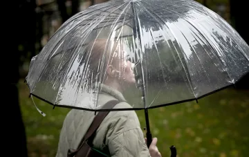

The first week of the calendar autumn is coming to an end, and meteorologists are recording the first stable signs of truly autumnal weather. This was stated in a blitz interview for RBC-Ukraine by Natalia Ptukha, Head of the Media Relations Department of the Ukrainian Hydrometeorological Center (UHMC). According to her, the air masses over the country already show "hints" of a seasonal shift, and over the coming weekend (September 5–6) the weather dynamics will noticeably intensify: the northwestern airflow will begin to prevail over the airspace above Ukraine, and it is from that direction that a new atmospheric front will arrive.
Atmospheric Front from the Northwest: How It Will Cross the Country in Two Stages
According to UHMC data, the atmospheric front will begin to reach Ukrainian territory on September 5 and will move in a southeast direction, bringing its influence over nearly all regions. At night, the zone of its impact will affect the northern part of the country, and then shift to the southeastern regions. The meteorologist emphasizes that the front will pass in two stages: first a more intense one, and then — after a certain "break" — on Sunday, September 6, the next "portion" of precipitation will reach Ukraine.
Precipitation and Wind: Rain, Thunderstorms, and Gusts of 15–20 m/s on the Weekend
Light and moderate rain is expected in most regions throughout the weekend. In some southern and partly central oblasts, it may be accompanied by thunderstorms. The wind situation should also be taken into account: as the atmospheric front passes, the wind will blow with gusts of 15–20 m/s both on Saturday and on Sunday. UHMC calls for caution and advises taking these factors into account in advance in your plans.
Temperature Scenario: From +27°C on Saturday to +15°C on Sunday
On Saturday, September 5, it will be a bit warmer: overnight temperatures will hold within +12...+17°C, while during the day the air will warm up to +22...+27°C. Starting Sunday, September 6, a more noticeable drop is expected — overnight from +7°C to +14°C, and during the day a "modest" +15...+23°C. In the south of the country, the air during the day may still warm up to +25°C in some places.
First Half of the Following Week: An Anticyclone Will Push the Fronts Out
With the start of the following week, according to the UHMC forecast, atmospheric pressure will begin to rise from the southwest, pushing the atmospheric fronts out. As a result, in the first half of the week (September 7–9) the weather will be mostly precipitation-free, and on September 8–9 no precipitation is expected at all; the wind will become moderate, without gusts. Temperatures during this period will remain roughly at the same level. New "portions" of rain and new fronts are possible on September 10–11 in the western oblasts, and on September 12–13 across Ukraine, except the east.
Norm and "September Variability": Why It's Hard to Pick Outfits This Month
Relative to the climate norm, temperatures in most regions of Ukraine are currently close to it, although in Ternopil, Dnipropetrovsk, Odesa, and Kherson oblasts they even exceed the norm by 3–6 degrees. The expected figures, according to the meteorologist, also remain close to the norm. At the same time, September is traditionally characterized by high variability: from +30°C during the day to a restrained +10...+15°C at night, which explains the typical situation for this month, "when you don't know what to wear, because it's cool in the morning but still warm during the day."