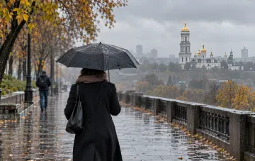

The synoptic situation in Ukraine in the coming days will be "quite dynamic," said Natalia Ptukha, Head of Media Relations at the Ukrainian Hydrometeorological Center, in a blitz interview with RBC-Ukraine. According to her, the key factor will be an active atmospheric front associated with a cyclone over Italy, which will bring air masses with sharply contrasting properties into the country. Ahead of the front from southern directions, very warm air will be advected amid an intense pressure drop, while behind the front, cold air will arrive with a rising pressure. The collision of these masses will cause sharp temperature contrasts, gusty winds, and precipitation of varying intensity.
November 13: Contrast from +20° in the South to +3° in the West
On Friday, November 13, light to moderate rains are expected in most regions, significant precipitation in the Precarpathians, and heavy precipitation in the Carpathians and Transcarpathia, which already corresponds to the second level of danger. During the day, rain in mountainous areas may turn into snow, with possible ice glaze, wet snow accretion, and icy roads. In the high-altitude areas of the Carpathians, wind gusts will reach 25–30 m/s with blizzards. Meanwhile, in flat areas, forecasters estimate that snow will only "flurry through" without sticking, as daytime temperatures will remain steadily above zero. The temperature background will be extremely uneven: in the south (Odesa, Mykolaiv, Kherson, Zaporizhzhia regions) and central regions (Kirovohrad, Dnipropetrovsk, Poltava, Cherkasy regions), the air will warm up to +15…+20 °C, whereas in the west of the country, due to the passing front and precipitation, temperatures will be limited to +3…+8 °C.
The Weekend: From Rain on Saturday to Clearings on Sunday
On Saturday, November 14, rains will continue in most oblasts, but during the day a trend toward their gradual cessation will begin. Starting Sunday, November 15, a high-pressure atmospheric field will begin to influence Ukraine's territory, ensuring dry weather, clearings, and even sunny conditions with calm winds. Nighttime temperatures will drop to 0…−7 °C, while daytime temperatures will range from +3…+8 °C. Forecasters emphasize that over the next two to three days, "fairly significant temperature amplitudes" will be observed, so dressing for sharp fluctuations is recommended.
Monday and Beyond: A Brief Lull Before New Fronts
On Monday, November 16, the anticyclone's influence will persist: mostly dry, with light rain possible only in the western oblasts. Nighttime temperatures across the country will be 0…−5 °C, down to −8 °C in the Carpathians; it will be somewhat warmer in Transcarpathia, the Precarpathians, and the southern part of Odesa region — +1…+6 °C at night and +8…+13 °C during the day. No drastic changes are observed for the time being, but fluctuations typical of this period will remain. Starting Tuesday, November 17, another atmospheric front may arrive from the west, followed by a break on Wednesday, November 18, and a new front arriving from the southwest on Thursday, November 19. According to Ptukha, temperature figures will decrease, though specific numbers for the second half of the week were not provided in the interview.
What This Means for Residents
The combination of factors — an active front, a sharp change in air masses, strong winds in the mountains, and possible icy conditions — makes the coming day one of the most "unpredictable" of November. Residents of the western and mountainous regions should take into account the second danger level and prepare for deteriorating road conditions. In the south and center, conversely, residents can count on comfortable daytime temperatures close to summer levels. Overall, as the UkrHMC representative summarized, the weekend can be spent quite comfortably if you dress correctly, taking into account the significant difference between day and night values.