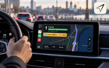

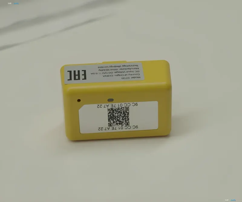
Yandex has developed 'Kompas', a compact yellow inertial navigation device that helps cars stay on route when the GPS signal is lost or provides incorrect coordinates. The device plugs into the OBD-II diagnostic port, reads vehicle speed data from the CAN bus, and measures turns using a built-in gyroscope. All readings are transmitted via wireless channel to the Yandex Pro app, where the movement trajectory is calculated. According to the company, the first 10,000 'Kompas' units are already undergoing testing in taxi vehicles.
Dead reckoning instead of satellites
The system is based on the dead reckoning method. Between updates of external coordinates, the app determines the car's movement using the speed and angular velocity obtained from sensors. For initial positioning and periodic correction of accumulated error, GPS and LBS (coordinates determined by Wi-Fi networks and cell towers) are used. Importantly, 'Kompas' itself does not determine the car's position on the map: it only records movement parameters, and the final geolocation is calculated by an algorithm on the driver's smartphone, combining inertial sensor data with the last available geolocation signals.
Why Bluetooth, not Wi-Fi
For data transmission, developers deliberately abandoned Wi-Fi in favor of Bluetooth Low Energy. This channel does not conflict with the smartphone's internet connection, is easier to connect, and consumes less power. Gyroscope and accelerometer readings are transmitted at a frequency of 15 Hz, and speed data at 2 Hz. During testing, engineers replaced the initial ceramic antenna: in urban conditions, it periodically caused delays and connection drops, which was unacceptable for continuous navigation.
Combating gyroscope drift and clock desynchronization
Gyroscope readings accumulate error over time, and its zero offset depends on temperature. To stabilize sensor operation, heating was added to 'Kompas': it brings the sensor to a stable temperature in about a minute instead of 20 minutes, and the offset instability across two axes was reduced by almost half. A separate task was to eliminate electrical interference and clock desynchronization between the microcontroller, smartphone, and sensor. Due to an error in timestamps, a 90-degree turn was initially calculated as 92 degrees; switching to precise timestamps and compensating for clock discrepancies allowed this problem to be fixed.
Accuracy in real-world conditions
For navigation without GPS, the system relies on the MapsLBS service, which determines location based on Wi-Fi networks and cell towers. On a test section of the embankment, where access points were few, the LBS coordinate error reached hundreds of meters, whereas the inertial track deviation was about 20 meters. Combining vehicle movement data and external coordinates allows navigation to continue even with a total loss of satellite signal.
Launch in taxis
As Yandex reported, the first 10,000 'Kompas' units are already being tested by taxi drivers, with drivers and taxi fleets able to receive the devices for free. According to project manager Alexander Malayrev, when geolocation fails, the car may appear in the wrong place on the map, causing passengers to miss the driver and customer support to receive thousands of inquiries. This is precisely why the solution was initially designed for taxis, where every trip depends on precise coordinates.