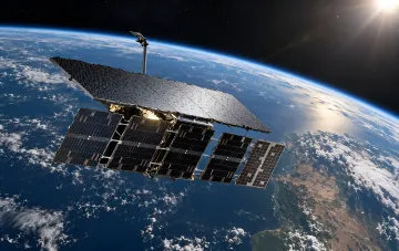
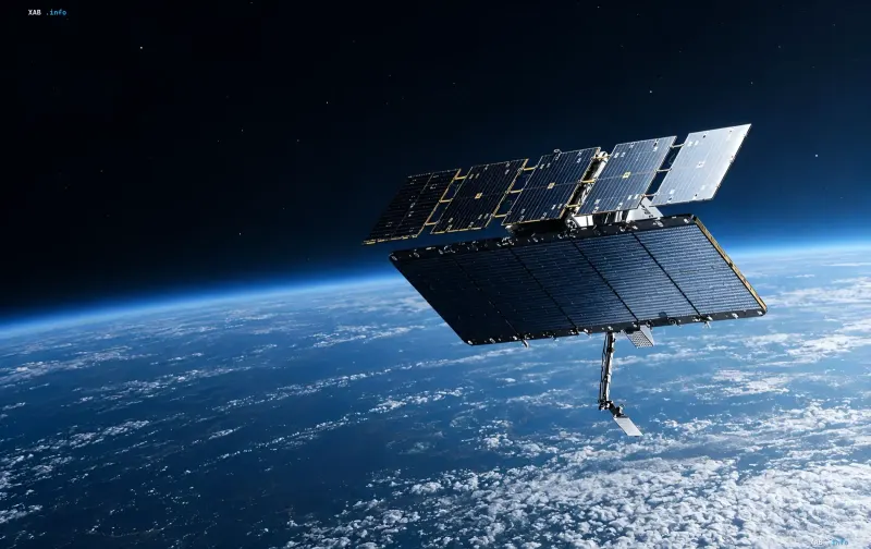
The Finnish company ICEYE has introduced its new generation of Gen5 radar imaging satellites, capable of capturing the Earth's surface with extreme detail in any weather and at night. The spacecraft operate at altitudes between 450 and 600 km and, as the developers emphasize, are built without applying US ITAR export restrictions, which removes several barriers for international customers. According to the company, the system combines high image quality with speed and maneuverability, while the turnkey architecture allows nations to deploy their own sovereign constellation in just 12 months.
Two Levels of Detail: 11 cm for Military, 16 cm for Commercial
A key parameter of the new series is the spatial resolution, which varies depending on the type of customer. For government and military clients, Gen5 satellites are capable of capturing images with a detail level of up to 11 centimeters, while for regular commercial users, this figure is up to 16 centimeters. This level of resolution allows for the identification of small ground objects and infrastructure details, which is critical for both defense tasks and commercial land monitoring.
Onboard AI and Over-the-Air Software Updates
Each Gen5 series satellite is equipped with an integrated AI processor that performs primary data processing, filtering, and preliminary analysis directly in orbit. This prevents the need to transmit the entire raw data stream to Earth, sending back structured results instead. Operators, in turn, can update the spacecraft's software over-the-air, adding new analytical functions without physical intervention on the unit.
Speed, Maneuverability, and 18 Frames in a Single Pass
ICEYE reports that it has managed to reduce the minimum distance between shots by more than 30 percent and double the imaging duration per orbit. As a result, a single satellite captures more than 18 frames while flying over a target area. A steerable antenna ensures data transmission speeds to Earth of up to 1 Gbps, which, according to ICEYE CEO and co-founder Rafal Modrzewski, minimizes the time from data collection to decision-making during rescue operations, maritime monitoring, or defense missions.
Sovereign Constellations in 12 Months
A separate advantage emphasized by the company is the speed of deployment. Turnkey architectural solutions, according to the developers, allow a state to deploy its own sovereign satellite constellation in 12 months. This positions Gen5 as a tool for nations that require independent access to radar imaging data without relying on foreign operators.
Context: ICEYE's Role in Intelligence and the In-Orbit Proximity Incident
The introduction of the new series comes amid increased attention to ICEYE satellites in a defense context. According to Ukrainian and specialized sources, the company's hardware is used for intelligence gathering, including for the benefit of the Armed Forces of Ukraine. In April 2026, as analysts reported citing Defense Express, the Russian spacecraft "Cosmos 2612" performed a close approach to the ICEYE-X36 satellite, with estimated distances between the spacecraft varying from several kilometers to 26 meters. The ultimate goal of such a maneuver has not been publicly explained, but the incident underscores the growing significance of commercial radar constellations in modern space rivalry.