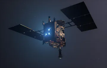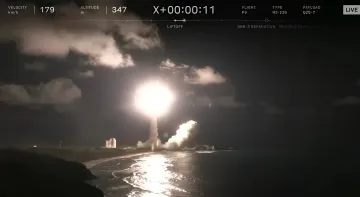
August 12, 2026 — Japan has taken a decisive step towards creating its own sovereign satellite navigation system. On the morning of August 11, the H3 launch vehicle successfully lifted off from the Tanegashima Space Center, deploying the seventh navigation satellite of the Michibiki series (QZS-7) into orbit. This launch marks the formal completion of the basic constellation, which is intended to ensure the country's independence from the American GPS in critical situations.
Success after Failure: The Launch of QZS-7 and the Fate of the H3 Rocket
The launch proceeded without glitches: 29 minutes after liftoff, the satellite successfully separated from the rocket's upper stage and entered its calculated orbit. This event was not just a technical success but also a moral victory for the Japanese space program JAXA. The H3 launch vehicle used for this mission has demonstrated unstable statistics in recent years: out of fewer than ten launches, two serious accidents and a series of technical failures have been recorded. Therefore, a successful launch under such circumstances holds strategic significance, confirming the reliability of the new platform for future missions.
Features of QZSS Orbital Mechanics
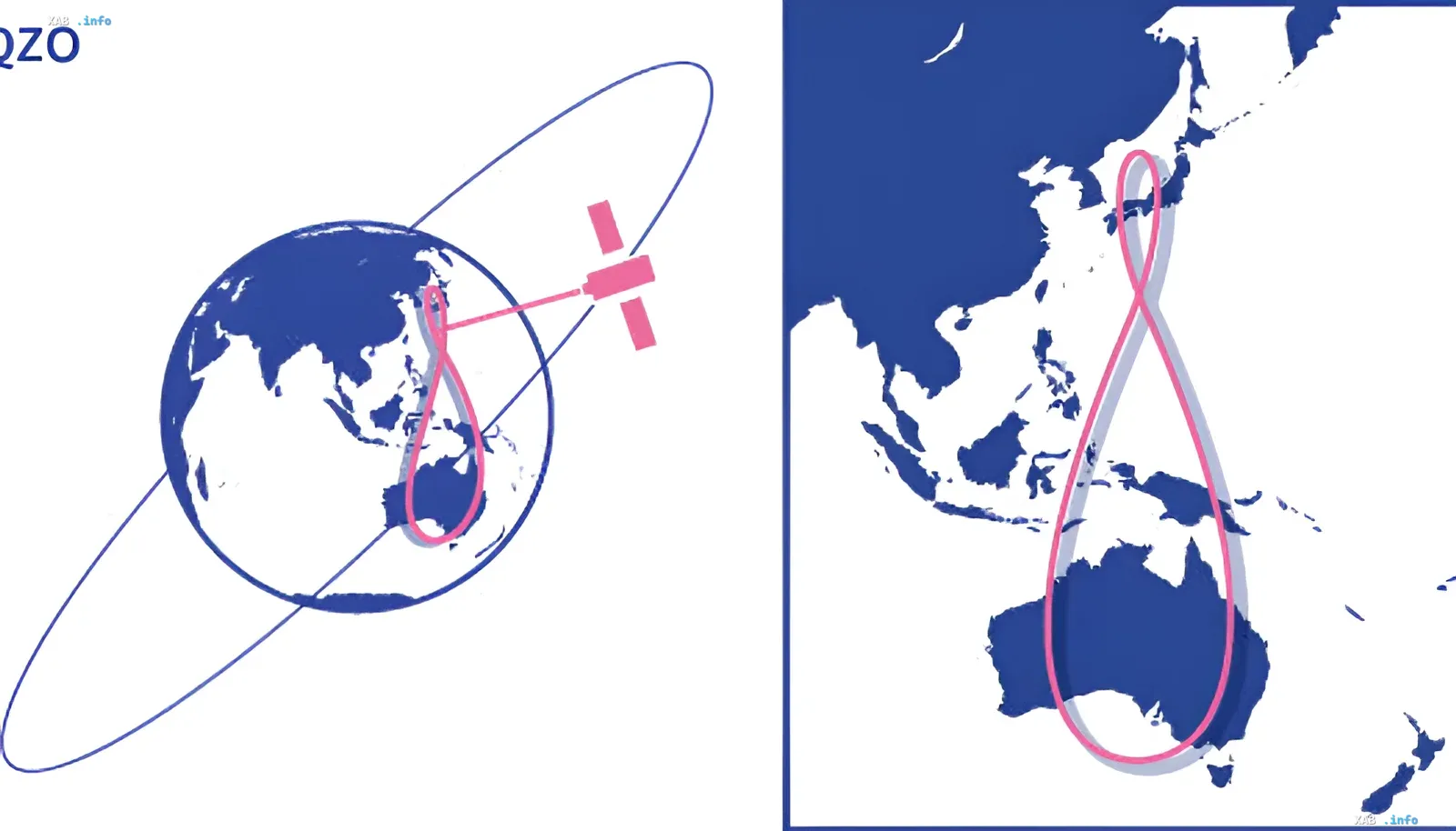
The uniqueness of the Japanese Quasi-Zenith Satellite System (QZSS) lies in its geometry. Unlike global systems (GPS, GLONASS, Galileo) that use dozens of satellites in medium orbits, QZSS is designed to cover the Asia-Pacific region. The satellites move along highly inclined geosynchronous orbits, tracing a figure resembling a figure-eight on the map. Thanks to this, the spacecraft remain almost at the zenith over Japan for many hours. This is critical for mountainous areas and megacities with dense construction, where standard GPS satellites are often blocked by terrain and skyscrapers.
Contradictory Data: Constellation Status and the 2025 Accident
Despite the successful launch of QZS-7, the question of the system's full commissioning remains open due to the tragedy of last year. In December 2025, an attempt to launch the Michibiki No. 5 satellite ended in an accident: due to mounting issues, the satellite fell off the rocket and was lost. In fact, at the current moment, the constellation consists of six operational satellites. There is a discrepancy in assessments: on one hand, the launch of QZS-7 is called the final stage of network creation, while on the other, it is unclear whether the system will be accepted into service in its current configuration without the seventh satellite (considering the loss of No. 5). For autonomous coordinate determination, a minimum of four satellites must be visible; with the current number (6-7 units), coverage is provided, but with less redundancy.
Independence Strategy and Plans Until the 2030s
The QZSS system is compatible with GPS and usually operates in conjunction with it, increasing the number of available signals for users. However, with seven operational satellites over Japan, at least four QZSS satellites will be visible at any given moment. This will allow the country to create a navigation system independent of foreign platforms. The Japanese government has already decided to expand the constellation to 11 satellites by the end of the 2030s. This expansion is necessary for redundancy in case of a failure of one of the units and to ensure the uninterrupted operation of the system in the long term.