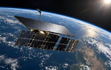
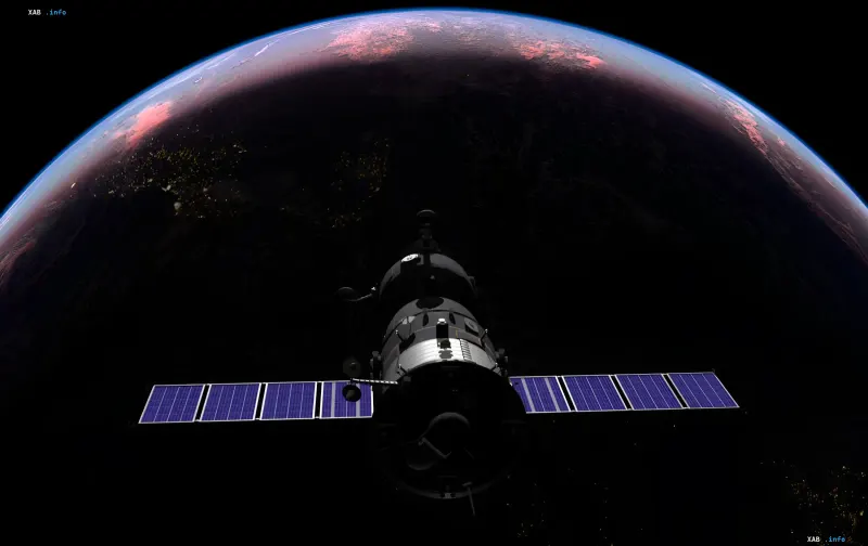
The Russian military satellite Cosmos-2612 executed a series of orbital maneuvers on the night of October 19, 2026, bringing it within just 26 meters of the commercial radar satellite ICEYE-X36. This is evidenced by data from the monitoring service satellitemap.space, referenced in a report by the Center for Strategic and International Studies (CSIS). ICEYE, headquartered in Finland, is a key supplier of satellite reconnaissance imagery to the Armed Forces of Ukraine.
Chronology of Maneuvers: From September to Close Approach
According to CSIS, Cosmos-2612 began preparing for the approach as early as late September 2026, performing a series of corrections that allowed the spacecraft to return to the same orbital plane as ICEYE-X36 and then adjust its altitude. The key maneuver took place on October 12: the Russian satellite changed its velocity by approximately 27.9 meters per second, adjusting its orbit to an altitude of about 555 kilometers—practically matching the altitude of ICEYE-X36. By the morning of October 19, at 02:06 Coordinated Universal Time (UTC), Cosmos-2612 was roughly 640 meters behind the Finnish spacecraft and two kilometers higher. Fourteen hours later, at 16:07 UTC, the distance between the two satellites had shrunk to 26 meters, a distance where the spacecraft are effectively 'flying wingtip to wingtip' under orbital mechanics.
Fuel Costs and Orbital Mechanics
Experts emphasize that changing a satellite's orbit requires significant fuel consumption. Specifically, to correct orbital inclination, a spacecraft must substantially alter its velocity vector, which directly limits the duration and frequency of such maneuvers. However, once in the same orbital plane, further approach to the target satellite is much cheaper in fuel equivalents: the spacecraft can 'catch up' or 'lag behind' the object while minimally affecting its own orbital parameters. According to the latest satellitemap.space data at the time of the report's publication, Cosmos-2612 is at an altitude of about 547 km above Earth, while ICEYE-X36 is at about 545 km, confirming the matching working orbits.
What a Close Approach Achieves and What It Does Not Prove
As CSIS analysts note, maintaining a distance of tens of meters allows for detailed visual and radar observation of the target spacecraft's structure, recording its antennas, sensors, and orientation systems. Under certain circumstances, such positioning creates opportunities for interference with the satellite's operations—ranging from communications jamming to potential physical impact. At the same time, it is emphasized that the proximity itself is not proof that Russia intends to damage ICEYE-X36 or put it out of action. To establish the real objectives of the maneuvers, experts believe additional data is needed, including the dynamics of Cosmos-2612's subsequent behavior and the reaction of the ICEYE operator.
Context: Vulnerability of Ukraine's Reconnaissance Infrastructure
The ICEYE-X36 satellite belongs to the class of commercial synthetic aperture radar (SAR) spacecraft capable of capturing images of the Earth's surface regardless of illumination and weather conditions, including dense cloud cover and nighttime. Data from such systems is actively used for intelligence purposes, particularly within the framework of ICEYE's cooperation with Ukrainian military structures. The incident involving Cosmos-2612 occurs against the backdrop of previously recorded problems with another component of space infrastructure critical to Ukraine: on the night of October 14, 2026, terminals of the military version of the Starshield satellite communications system (the Starlink project) began losing connectivity when moving at speeds exceeding 160 km/h, disrupting individual missions, including those utilizing high-speed interceptor drones. The combination of these events points to systemic pressure on the space reconnaissance and communications infrastructure utilized by Kyiv.